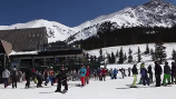
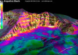
Arapahoe Basin Upper East Wall
A Skier's Guide to the Hike-able Terrain off of the Zuma and Lenawee lifts


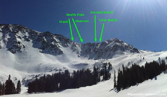
Runs: Upper East Wall chutes (Double Black)
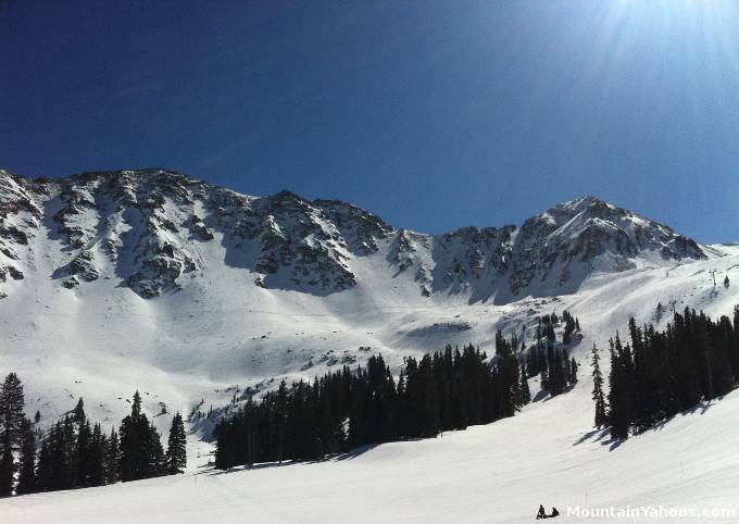
The Upper East Wall is an intimidating and visually awesome ridge of the Lenawee Mountain peaking at over 13,204 feet above sea level. It is often open for skiing but it must be remembered that glory is offered only to those willing to hike the ridge. Snow coverage often limits the terrain open for skiing so examine the terrain before hiking.
This article covers a hike to the top of "North Pole Chute". You may find that snow coverage is poor and there is no sane entrance from the top of any of the chutes. Please survey the situation from below before attempting the hike. It is also common the hike from below to reach the upper snow limit and then proceed to ski down from that point.
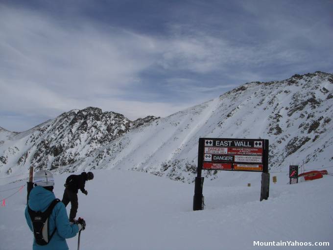
Entrance to hike
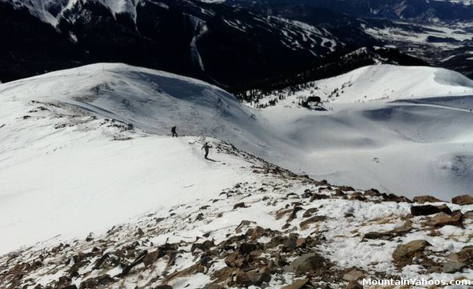
View looking down the hiking trail which starts from the top of Zuma lift
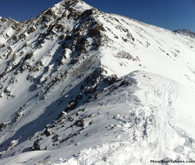
View of the final part of the hike looking up along the ridge
The hike along the ridge is at the very high altitude of over thirteen thousand feet. You may find it extremely exhausting. Symptoms of altitude sickness may also strike. Do not travel alone.
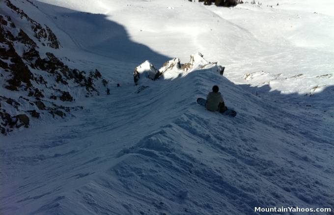
Looking down the spine that splits the Upper East Wall's North Pole Chute
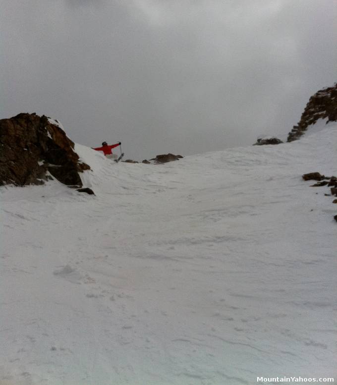
Looking up Upper East Wall's North Pole Chute
The chutes are marked trails with signs at the entrance to the runs. They are not necessarily on the trail map.
The runs marked on the trail map are:- North Pole
- Willy's Wide
- Corner Chute
- Tree Chutes
Arapahoe Basin East Wall First Notch: POV ski video of the decent
Arapahoe Basin East Wall Second Notch: POV ski video of the decent

|
_________________
|
Discount ski lift tickets _________________
|
