Monarch Mountain Colorado (US)
Location, Map and Directions
![]()
Search this site:
Transportation Summary:
| Denver International Airport: | DEN |
| Gunnison-Crested Butte Regional Airport: | GUC |
Virtual Tours:
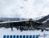
Mountain Base
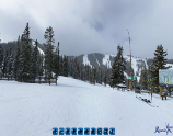
Tumbelina Lift Peak
 Mirkwood Bowl
Tree Runs Ski Video:
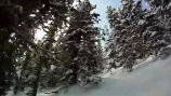
Favorite 3 tree runs
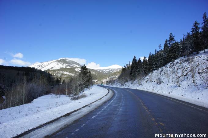
The drive to Monarch on Hwy 50
Monarch Mountain is located about 160 miles Southwest of Denver.
Monarch Mountain Ski Resort (mountain base):
-
23715 Hwy 50, Monarch Colorado USA 81227Latitude: 38.512310
Longitude: -106.331911
Resorts Nearby:
Monarch Mountain from is not close to a major metropolitan airport so one will find themselves driving from either Denver or Colorado Springs:
- From Denver:
- From Southwest Denver on the E-470, take Hwy 285 south (123 miles) to Hwy 50
- Take Hwy 50 West for 13 miles, then turn right into the Monarch Mountain parking lot
- From Colorado Springs:
- Take Hwy I-25 to CO 115 (Nevada Ave.) South (31 miles)
- Turn right onto Hwy 50 West (86 miles)
- Turn right into the Monarch Mountain parking lot
Parking:
Monarch Mountain has one large parking lot at the base of the mountain.
Road conditions:
- Colorado map: road conditions (select hwy to view conditions)
Other transportation options:
- Salida Recreation Department ski bus - only $5.00 from Salida Hot Springs Pool (9:00am) to the mountain. Returns at 3:30pm
719-539-6738 - Carpool/ride share:
- Flying to Denver: Denver Int. Airport: DEN Phone: (303) 342-2000
Next: Monarch Accommodations

|
_________________
|
Discount ski lift tickets _________________
|
