Blue Mountain Ski Resort in Ontario (Canada)
Location, Map and Directions
![]()
Search this site:
Transportation Summary:
| Toronto International Airport: | YYZ |
| Local Airport: | CNY3 |
| Train Station: | Collingwood |
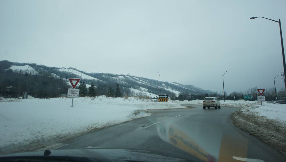
Blue Mountain is located near Georgian Bay on Lake Huron, about one hundred miles Northwest of Toronto Canada. One can travel by car, bus or train and it takes about 2 hours under normal conditions.
Blue Mountain Ski Resort (mountain base):
-
108 Jozo Weider Boulevard, Blue Mountain Ontario Canada L9Y 3Z2Latitude: 44.507581
Longitude: -80.316120
Resorts Nearby:
There are other resorts in the area but most are private ski clubs and not open to the public.
Most of the skiers at Blue Mountain drove from Toronto.
- From Toronto via the 400 Hwy North:
- Take Hwy 400 North
- Exit 98 from highway 400 North and take left onto highway ON-26 West/Bayfield Street towards Wasaga Beach/Stayner
- Hwy ON-26 will change names from Pretty River Pkwy to Huron Street and First Street.
- Continue on to Mountain Road 19 (will become Grey Road 19)
- This will lead to multiple Blue Mountain resort and parking lot entrances
Parking:
Blue Mountain provides a large lot at the base of the mountain as well as three shuttle served secondary lots.
Road conditions:
- Southern Ontario: road conditions (select location to view conditions)
Bus transportation options:
- AUC Tours Daily Shuttle 1-416-741-5200
pickup from Toronto City Hall, Kipling subway station, Scarborough Town Center, Yorkdale Shopping Center and Young and Bishop (near Finch)

|
_________________
|
Discount ski lift tickets _________________
|
