Keystone Colorado (US)
Location, Map and Directions
Video Tour of Keystone:

Virtual Tours:

Keystone Village
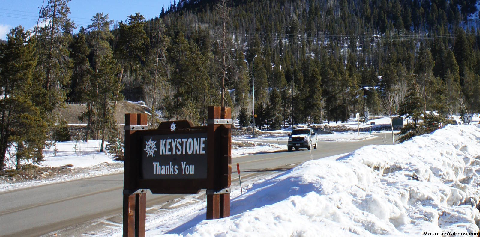
Keystone is one of six Summit County Colorado ski resorts (Arapahoe, Breckenridge, Copper, Ski Cooper, Keystone, Loveland) just off of highway 70 about 100 miles from the Denver International Airport. Keystone is accessible by shuttle bus or by rental car.
Keystone (mountain base):
-
Colorado United StatesLatitude: 39.603829
Longitude: -105.954913
Resorts Nearby:
- Arapahoe Basin CO (5.6 miles)
- Copper Mountain CO (18.8 miles)
- Breckenridge CO (15.6 miles)
- Loveland CO (13.2 miles)
One must first get to Denver Colorado which is easily accessed by air. From there rent a car or take a shuttle bus to get to the mountains.
Directions:
- From Denver:
- Interstate 70 West
- Take the exit for Hwy 9 South near Silverthorne
- Continue on Hwy 9 South to Hwy 6 to Keystone
Parking:
Keystone provides parking at both village base areas, the main "River Run" village and "Mountain House" village.
Road conditions:
Alternative Transportation:
- Colorado Mountain Express Bus 1-800-334-7433
Service from Denver International Airport - Summit Stage - free summit county bus
Services A-Basin, Breckenridge, Copper, Keystone, Frisco, Dillon, Silverthorne, Summit Cove
1-970-668-0999 - Front Range Ski Bus
- Fresh Tracks Transportation (local Summit and Eagle County bus) 1-970-453-4052
Air Travel:
- International Airports:
- Denver International Airport: (DEN)
97 miles from Keystone
- Denver International Airport: (DEN)
- Regional Airports:
- Eagle County Regional Airport: (EGE)
72 miles along I70 from Keystone
- Eagle County Regional Airport: (EGE)

|
_________________
|
Discount ski lift tickets _________________
|
