Steamboat Springs Colorado (US)
Location, Map and Directions
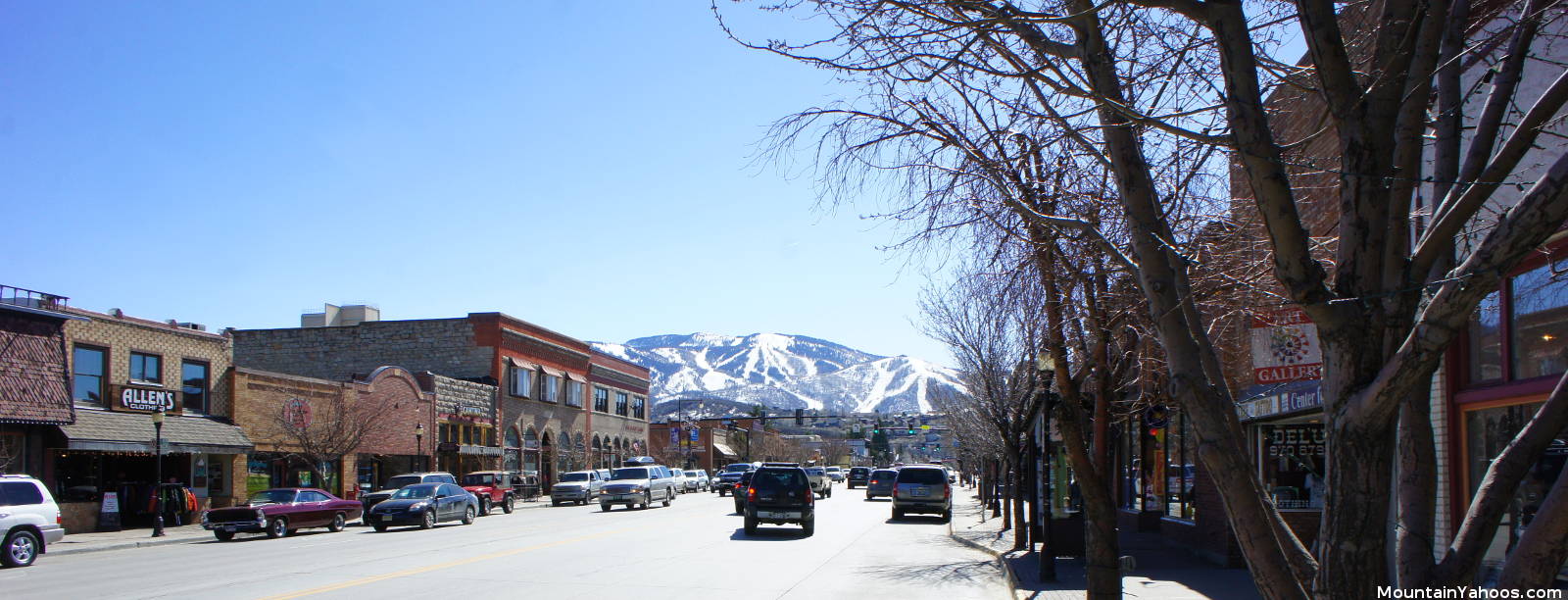
Steamboat Springs Colorado is located 157 miles (250km) Northwest of Denver (about a three hour drive).
The local Hayden Airport is 22 miles West of Steamboat Springs.
Steamboat Springs (mountain base):
-
Colorado United StatesLatitude: 40.45695
Longitude: -106.80616
There are two air routes into Steamboat Springs, Denver and Hayden Colorado of which Denver is the busiest. Driving from Denver is the most popular mode of arrival.
- From Denver:
- Hwy 70 West 67 miles to Silverthorn, Exit 205
- Take CO 9 North 37 miles to Kremling
- Take US 40 to Steamboat Springs (53 miles)
- Commercial flights available to Hayden airport with a 30 minute (22 mi) shuttle ride to Steamboat Springs. Direct flights available from Raleigh/Durham, Dallas/Ft. Worth, Denver, Houston, Los Angeles, Minneapolis/St. Paul, Newark, and St. Louis.
Parking:
Steamboat provides three parking lots and a parking structure near the base of the mountain with shuttle bus service from the remote lots.
Road conditions:
- Colorado map: road conditions (select hwy to view conditions)

|
_________________
|
Discount ski lift tickets _________________
|
