Vail Colorado (US)
Location, Map and Directions
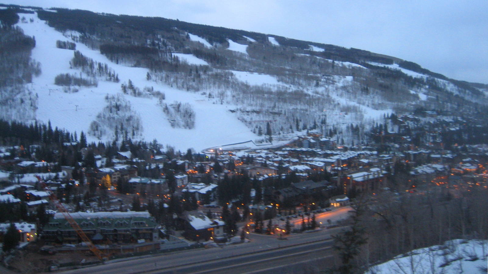
Vail is located on the South side of Interstate Highway 70 in Eagle County, 93 miles West from Denver, which is about a two hour drive with weekend traffic (or 121 miles from the Denver International Airport).
Vail (mountain base):
-
Colorado United States 81657Latitude: 39.640031
Longitude: -106.373445
Most of the skiers at Vail drove two and a half hours hours from Denver Colorado.
- Interstate 70 West
- Take exit 176
Colorado road conditions: 303-639-1111
Vail road conditions: 970-479-2226
Parking:
Vail provides large parking structures near each of the Village base areas (Vail village and Lion's Head) at the foot of the mountain. Vail also provides a shuttle bus connecting of them and more.
Road conditions:
- Colorado map: road conditions (select hwy to view conditions)
Other transportation options:
- Colorado Mountain Express Bus 1-800-334-7433
Service from Denver International Airport - Fresh Tracks Transportation (local Summit and Eagle County bus) 1-970-453-4052
- Eagle Vail Express 970-376-6284 limo from Denver airport
Air Travel:
- International Airports:
- Denver International Airport: (DEN)
119 miles from Vail Mountain
- Denver International Airport: (DEN)
- Regional Airports:
- Eagle Vail Airport: (EGE)
217 Eldon Wilson Road, Gypsum, CO 81637
35 miles along I70 from Vail Mountain
- Eagle Vail Airport: (EGE)

|
_________________
|
Discount ski lift tickets _________________
|
